Refuting Nepal’s claim on Kalapani, India asserts, ‘Our map accurately depicts sovereign territory of India’
New Delhi, November 7: Redrawing the new Indian political map, India has rightly depicted and embraced the boundaries which belonged to it. The map was released by India after bifurcation of Jammu and Kashmir which accurately depicts its sovereign territory and did not revise its boundary with Nepal in any manner. This was stated by Ministry of External Affairs (MEA) on Thursday, a day after the Nepal government strongly objected to the inclusion of Kalapani under the Indian Territory.
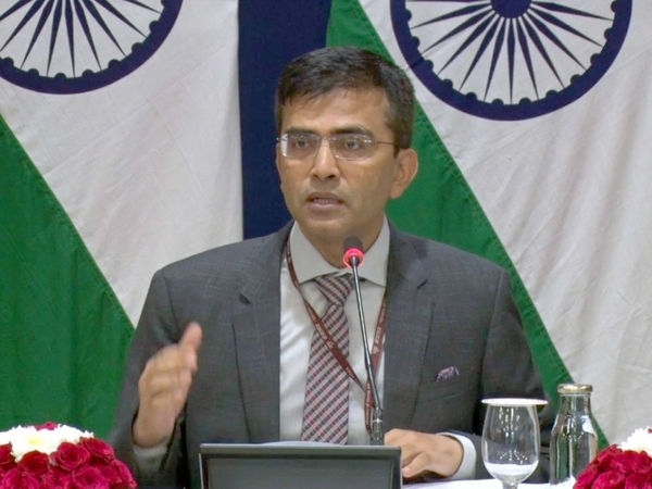
Responding to a question on the same, MEA spokesperson Raveesh Kumar said that the boundary delineation with Nepal is ongoing under the existing mechanism and New Delhi is committed to finding a solution on the matter through dialogue in the spirit of the close and friendly bilateral relations between the two countries.
“Our map accurately depicts the sovereign territory of India. The new map has, in no manner, revised our boundary with Nepal. The boundary delineation exercise with Nepal is ongoing under the existing mechanism. We reiterate our commitment to find a solution through dialogue in the spirit of our close and friendly bilateral relation,” Kumar said.
Raveesh Kumar said that both sides should guard against the vested interest “who are out there to create some differences between the two countries.” Nepal's objection came after Home Ministry released the political map of India on Saturday which showed Kalapani within Indian borders.