Correct the Map: India Draws the Line on Jammu & Kashmir
Total Views |


New Delhi , Sept 07: India’s support for the United Nations General Assembly’s “Correct the Map” resolution has triggered a fresh diplomatic exchange with Pakistan over the depiction of Jammu and Kashmir and Ladakh on any future world map.
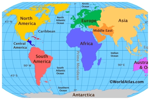
The UN General Assembly adopted the resolution on September 4, with 164 countries voting in favour. The initiative seeks wider use of equal-area map projections that represent the relative size of landmasses more accurately and address distortions associated with the traditional Mercator projection. India supported the resolution but made it clear that its vote did not amount to endorsement of any particular map or projection.
ALSO READ: Madras HC: Christian Woman Cannot Seek Restitution of Conjugal Rights Under Hindu Marriage Act
The dispute therefore goes beyond cartography. For India, the map is also a statement of sovereignty. New Delhi is insisting that an international effort to correct geographical distortions cannot simultaneously reproduce what it regards as an inaccurate depiction of its territory.